CIRGEO took part to the Italian not-ordinary plan of remote sensing (Piano Straordinario di Telerilevamento Ambientale, PST) funded by Law no. 179/2002 (art. 27). This project aimed at supporting "the needs of the Central Government for institutional mission with the task of coordinating the activities for soil conservation (Ministry of the Environment and for Protection of the Land and Sea), predict and manage the consequences of natural events in emergency situations (Presidency of the Council of Ministers – Department of Civil Protection) and manage the national competences of mapping and safety (Ministry of Defence – Chiefs of Defence)."
During the project interferometric processing of radar images (SAR) and LiDAR surveys were carried out in areas of high hydro-geological risk, in order to "strengthen the tools of knowledge and to enhance the skills of observation and control of the territory through the use of innovative remote sensing techniques, while helping to enhance the technological capabilities and to spread its use in Public Administration".
(quotes from website of the Italian Ministry of the Environment and for Protection of the Land and Sea).
CIRGEO NASA World Wind development platform used in projects for Air Quality Data and Solar Irradiance. Winner of 2013 NASA WW Europa Challenge with other student teams (more info here).
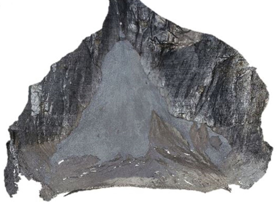
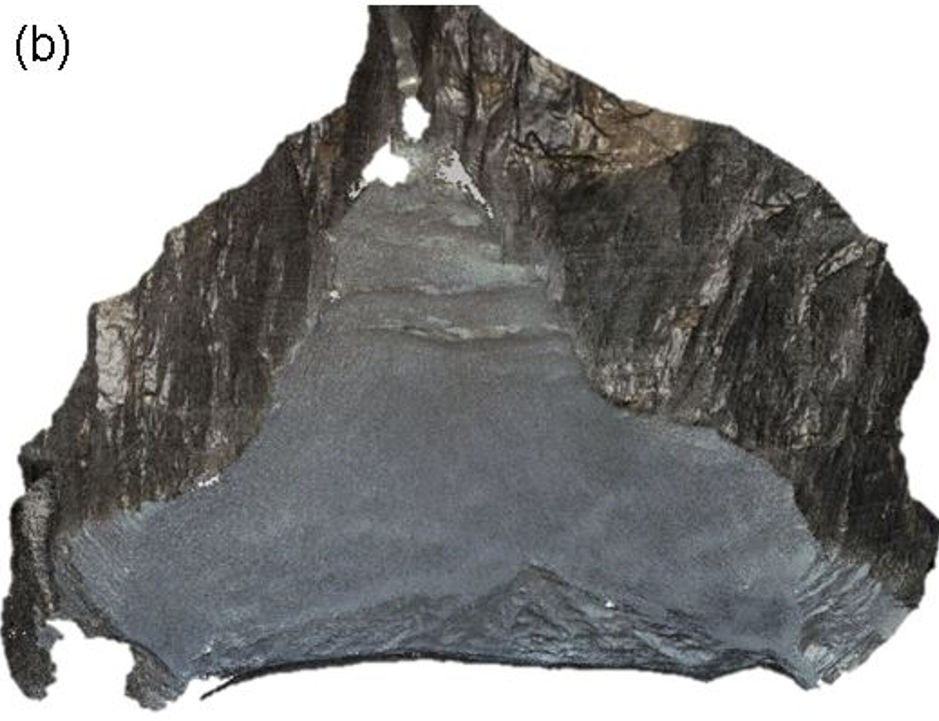
The photogrammetric method based on SfM (Structure from Motion) used for modeling the Montasio Occidentale glacier surface located in the Eastern Italian Alps. In the figures the results of SfM approach: the dense point cloud and the DTMs of glacier surface surveyed respectively in 2013 and 2014.
CIRGEO is developing a prototype of Mobile Mapping System based on the assembly of (very)low cost sensors where data are managed through a web-based interface leveraging open source libraries in a Software as a Service (SaaS) principle. In the figures below: (a) main page of web tool through which the the user initiates the system, (b) an example of page dedicated to the single type of sensors (IMU sensor in this case) and (c) a graph that show the trend in time of one of IMU sensors parameters. More to come soon....
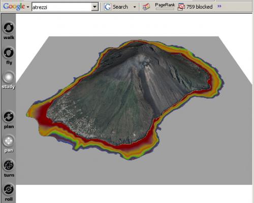
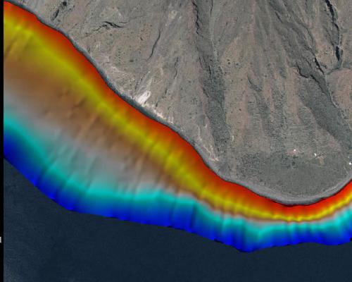
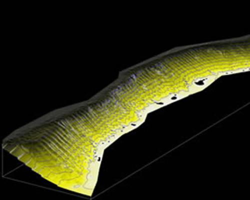
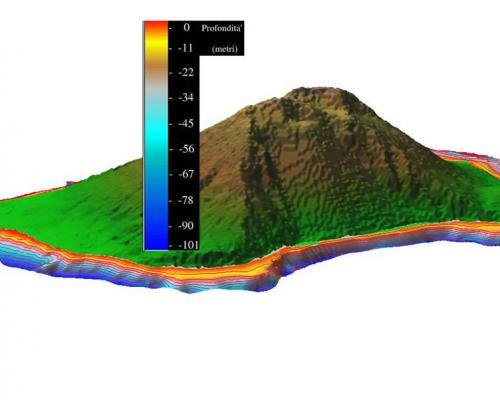
CIRGEO was partner of a project for the simulation of scenarios were underwater earthquakes cause tsunamies. The near-coast bathymetry allowed to assess behaviour of tsunami over the coasts of Stromboli Island.

 main page of web tool through which the the user initiates the system.png)
 an example of page dedicated to the single type of sensors (IMU sensor in this case) -thumb.png)
 a graph that show the trend in time of one of IMU sensors parameters.png)